As the popularity of drones continues to soar, more and more photographers and businesses are starting to offer drone photography services. This can be a great option for clients who are looking for high-quality, unique, and affordable photos & videos. There are a variety of services that drone photographers can provide, so clients should do their research before choosing a photographer. Some of the most popular drone photography services include real estate and other photography.
What Are The Different Drone Photography Services Available To Consumers?
Drone photography services can be divided into a few different categories. The most popular drone photography services include real estate, wedding & event photography. Real estate drone photography is becoming increasingly popular as it provides a unique perspective of properties that is not possible with traditional ground-based photography. Wedding drone photography is also gaining popularity as it allows couples to capture aerial shots of their big day. Event drone photography is perfect for capturing all the action at concerts, festivals, and other events. Other types of drone photography include product photography, landscape photography, and aerial mapping.
Real Estate Drone Photography
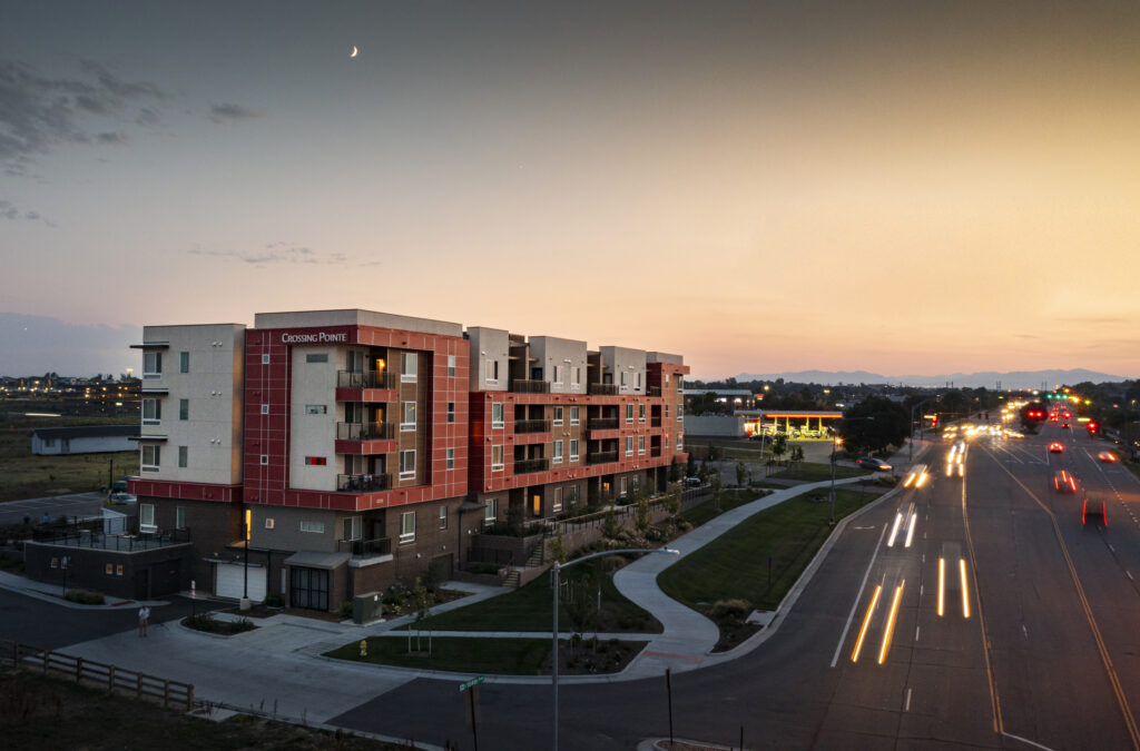
Real estate drone photography is becoming increasingly popular as it provides a unique perspective of properties that is not possible with traditional ground-based photography. Drone photographers can capture aerial shots of homes, businesses, and other properties. This can be a great way for potential buyers to get a bird’s eye view of the property before making a purchase.
Aerial photographs of properties are so in demand because they give buyers a better understanding of the property layout. With regular ground photographs, 2D images do not show the topography or elevation changes of the land. With drone photography, you can see every detail that makes up the property. This is also crucial for those who are looking to purchase land for construction because it can help them avoid any potential problems with the land.
Event Drone Photography
Event drone photography is perfect for capturing all the action at concerts, festivals, and other events. Drone photographers can capture aerial shots of the crowd, the performers, and the venue. They do especially well at festivals where enough is going on over such a large area that a drone can catch things happening into the horizon. Videographers often get fantastic shots at festivals because of this!
Product Photography
Product photography is another popular type of drone photography. Drone photographers can capture aerial shots of products, allowing businesses to show off their products in a new and unique way. This can be a great way to increase sales and promote your product. Think vehicles, transportation, large goods & anything you’d like to shoot outside!
Product photography can be used to create marketing materials, such as product catalogs and brochures. Drone photographs of products can also be used on websites and social media. This can help businesses reach a wider audience and increase their online visibility.
Landscape Photography
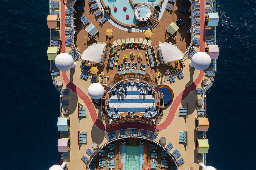
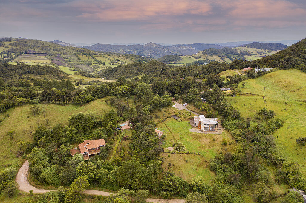
Landscape photography is another popular type of drone photography. Drone photographers can capture aerial shots of mountains, forests, rivers, and other natural scenery. Tourism, travel and leisure businesses often use these to celebrate the diversity of their geography and use it as a selling point for tourists.
Aerial landscape photography can also be used to capture shots of urban areas. This can be a great way to show off the skyline of a city or the architecture of buildings. Landscape drone photography can also be used to capture shots of farms and other agricultural areas. This can be a great way for farmers to showcase their land and promote their business.
Aerial Mapping
Finally, aerial mapping is a type of drone photography that is often used for surveying purposes. Aerial mapping can be used to create maps of land, buildings, and other structures. This can be a great way to plan construction projects or track the progress of a construction project.
Aerial mapping can also be used for environmental purposes. Aerial maps can be used to monitor changes in the environment, such as deforestation or desertification. This information can be used to help conservation efforts.
Hope that list of the different drone photography services available helped you out!
If you’re in need of a top-quality drone photography service, then look no further! I’ve been taking drone photography and videography for years at this point and have worked with products, real estate, events and landscapes and I’m sure I can help with your needs.
Check out my drone portfolio, or get in touch with me today!

